Jaguari Dam
|
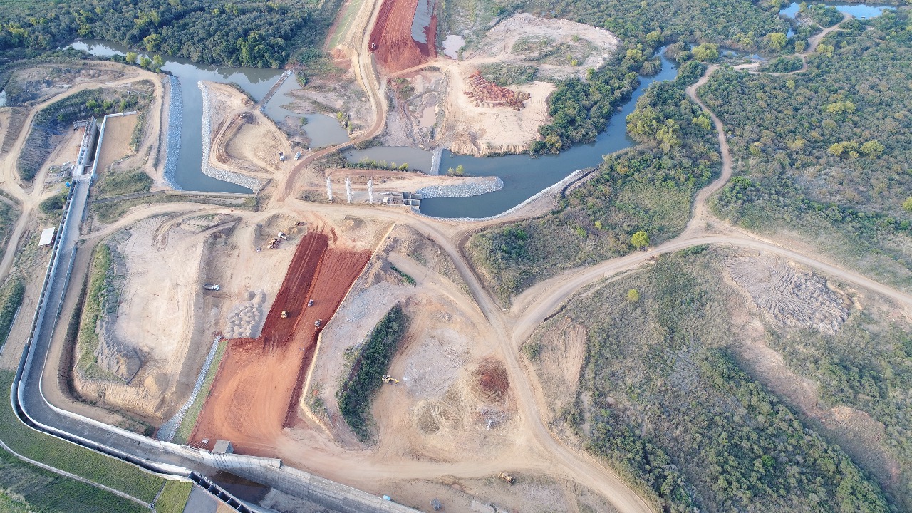
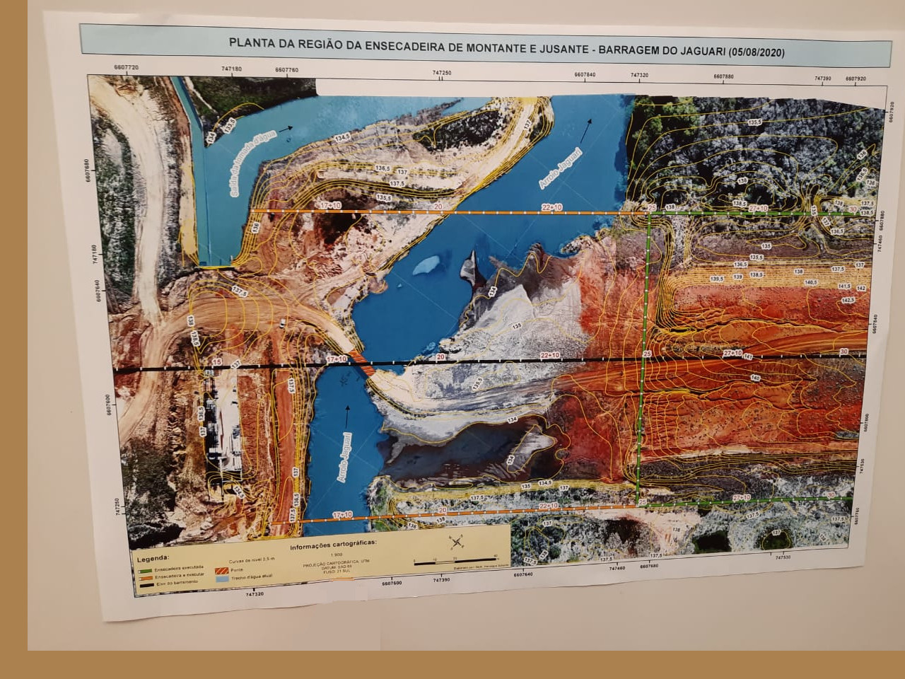
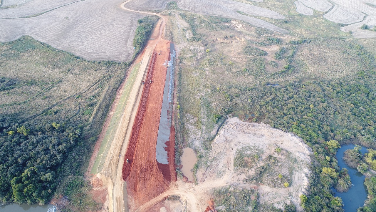
In addition to São Gabriel, it will serve the municipalities of Cacequi, Dom Pedrito, Lavras do Sul, Rosário do Sul and Santana do Livramento. The dam will have the capacity to irrigate 83,000 hectares, in addition to guaranteeing the water supply to the population. The understanding of the local geology is essential to guarantee the perfect functioning of the dam. As part of the studies, Geomodelle developed geological and geotechnical 3D interactive models in order to assist in the identification of possible problems common to this type of dam, such as liquefaction and/or piping. This project has been developed in partnership with AFC Geofisica. 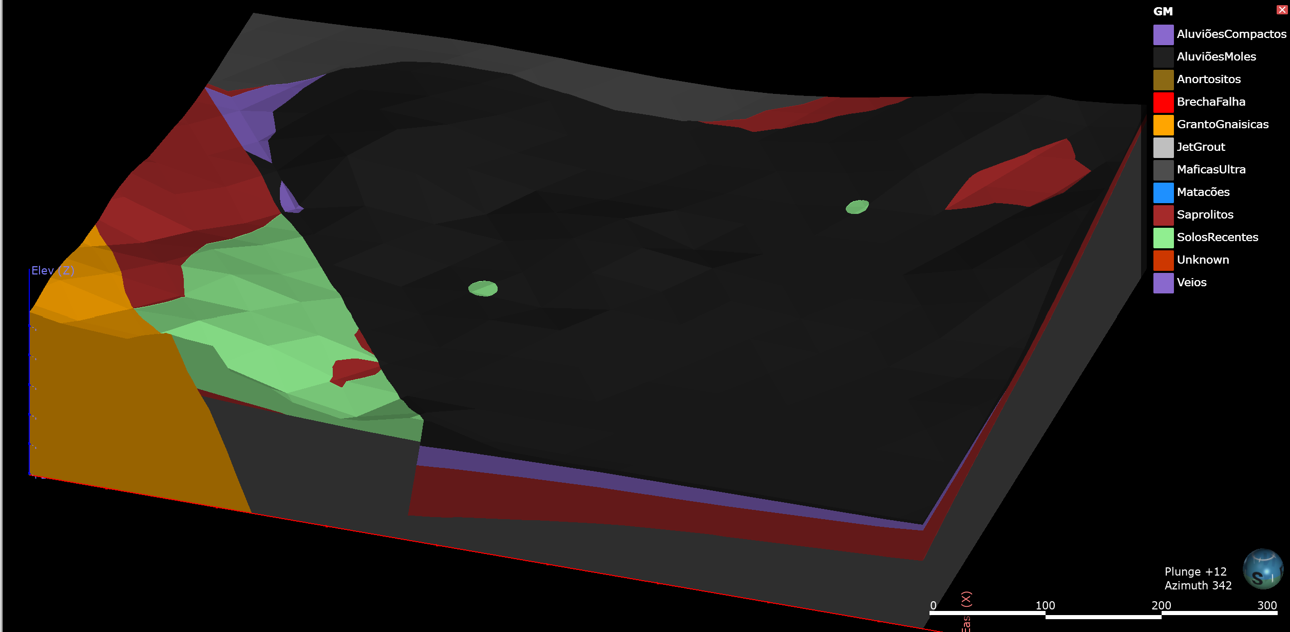 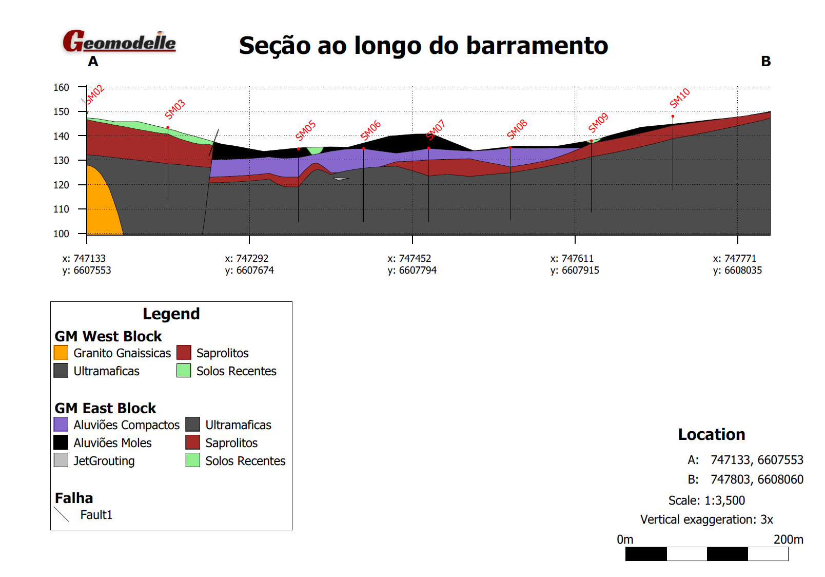
When viewing, you can analyze the details of the models through the buttons on the left of the page. At the top there are a number of tools for the creation of cross-sections and to include planes for viewing directions. It is possible to navigate along the cross sections using the dot “.” or the comma “,” from your keyboard. To measure distances use the ruler and for several other types of views use the Look button. Please notice that the scenes were developed in high graphic resolution, but their quality will depend on your computer's graphics card. Scene 1 - Aluvions and Jetgrouting Scene 2 - Litologies, boreholes and Jetgrouting Scene 3 - Litologies and Geophysical Sections Scene 4 - Cross section aligned with dam axis , Geophysical scetions and boreholes Scene 5 - Cross section aligned with the dam axis Scene 6 - Cross sections aligned to North Scene 7 - Geophysical Sections Scene 8 - Elevations and boreholes |
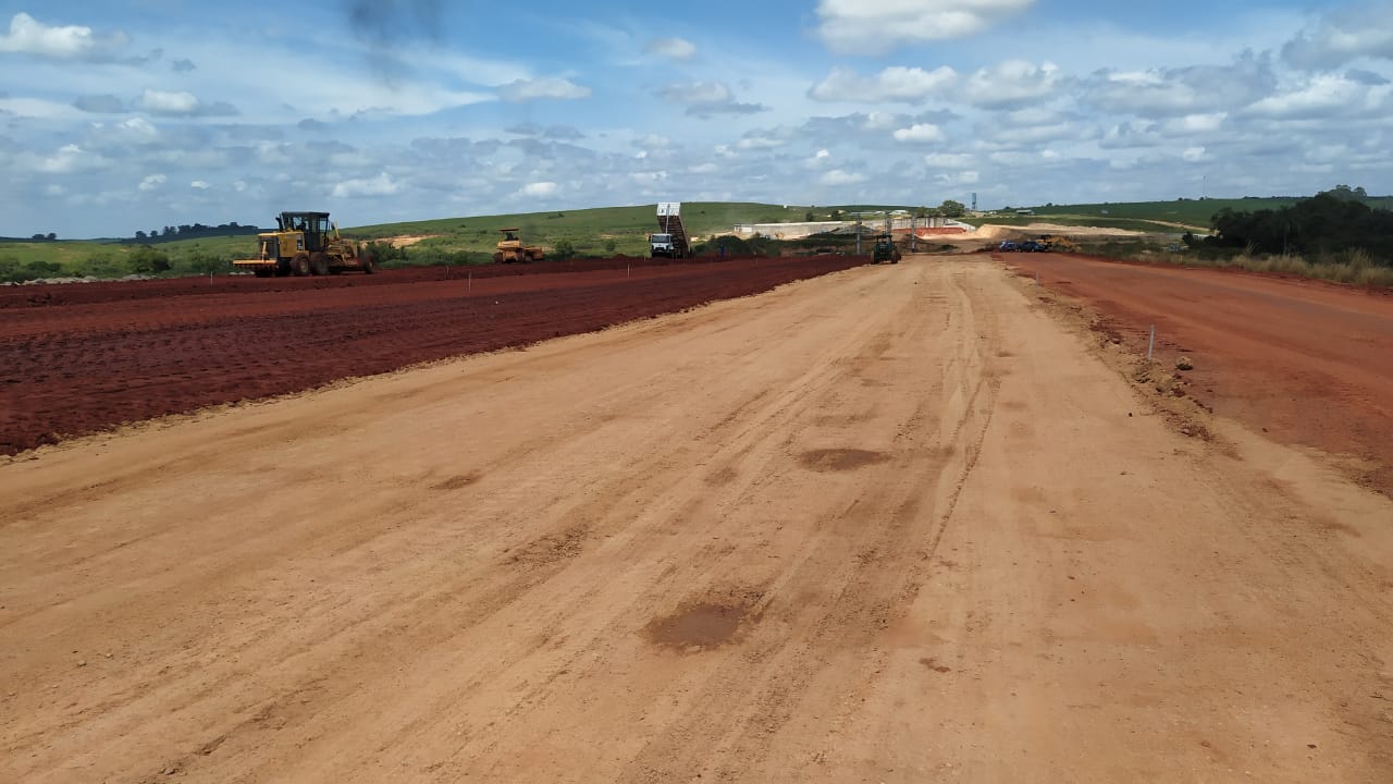
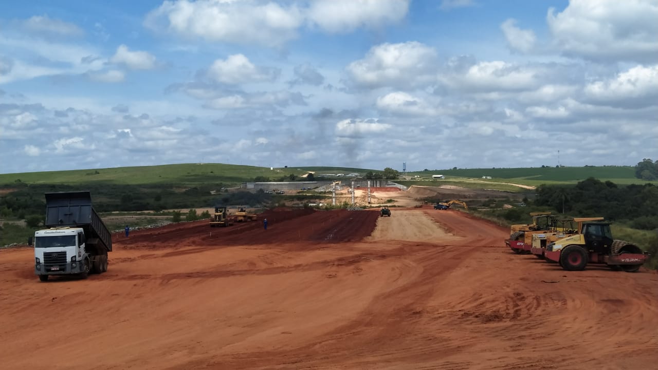
The earth dam is located in São gabriel, South of Brazil
