Solutions
Geomodelle's Methodology
Geological & Geotechnical Solutions
Geological & Geotechnical modeling solutions are services that quantify geological processes, identify natural hazards, and manage their resources. These projects have a high level of complexity and help companies to access risks, optimize resources, allow collaboration, ensure compliance to regulations, and help with analytics and reporting.
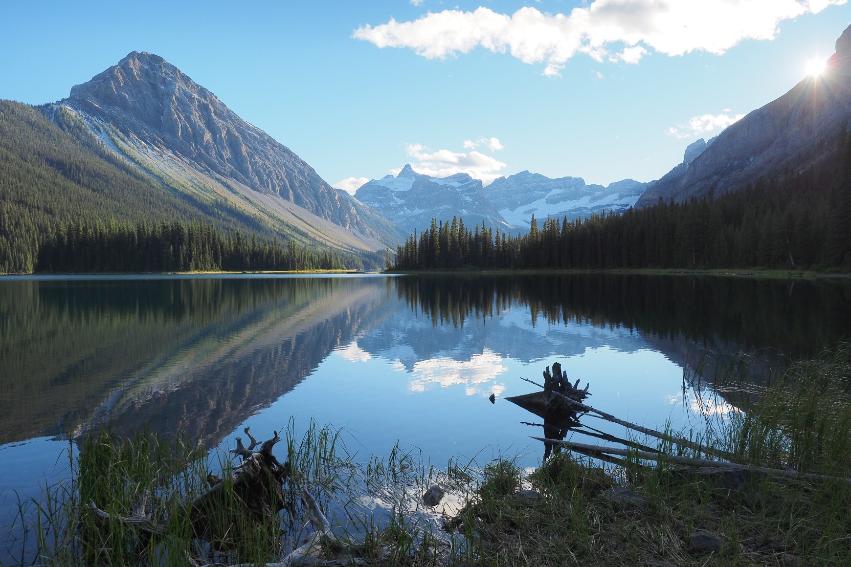
Geomodelle goal is to manipulate geological data using the latest information technology tools to obtain answers to elucidate the complexities of the Earth.
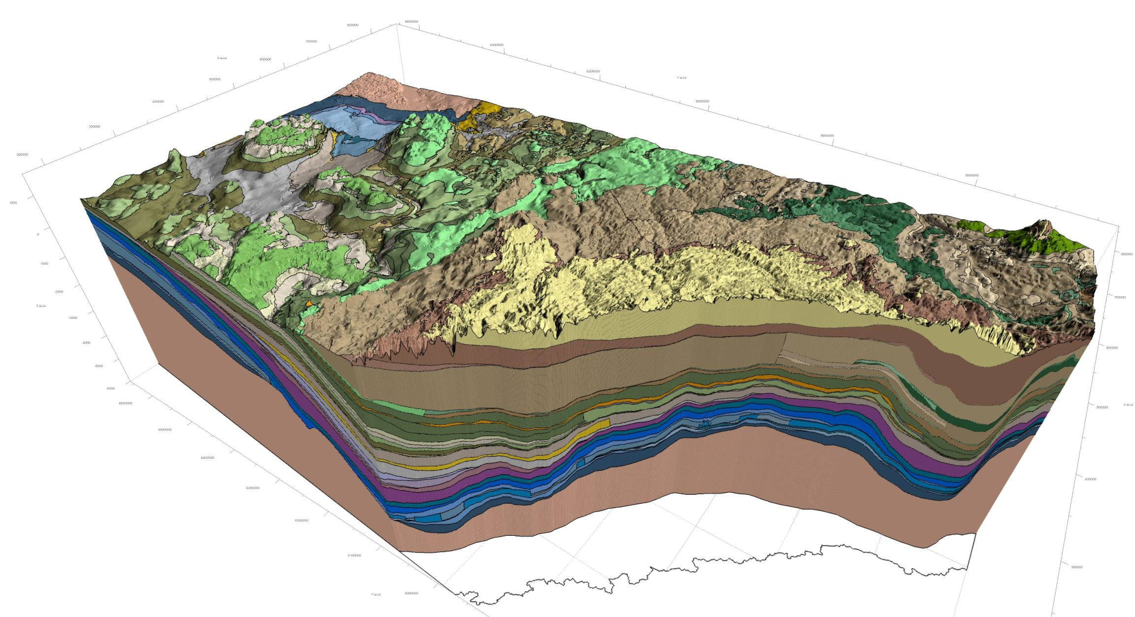
Domain modeling
Numeric modeling
- Incorporate structural data to create geological grade domains
- Model complex and arbritary anisotropies
- Visualize isosurfaces defined by numerical data
- Build interpolants and export volumes and isosurfaces between domains
- Interpolate numeric data to determine how it varies in 3D space
- Estimate resources such as mineralizations and rock excavations
Block modelling
- Determine geological limits of ore and rock types, estimating the tonnage and grades
- Generate relevant statistics for calculations and evaluations weighted by tonnage or by volume
- Data sets from blocks can be exported in a variety of formats
- Interpolation
3D Block Model
Environmental Solutions
Pollutant
There are five stages of examining a potentially contaminated site:
Discover
Definition
Design
Operate
Restore
Investigate the site to confirm if the contamination exists, its location, and its extent.
Determine the project's scope and cost, focus on data analysis, make robust estimations in an iterative process, and incorporate more data in each step.
Decide the engineering procedures to mitigate the problem keeping the stakeholders up-to-date.
Evaluate the decisions made by reviewing data and models. If necessary, resample and remodel.
Verify if the remediation was successful. If not, verify the strategy proposing changes or conclusion of the project if complete remediation is not feasible.
Environmental modeling is a dynamic process. Many iterative tasks are necessary to obtain the results. Also, a 3D visualization of the site, including geology, infrastructure, and contamination distribution, is decisive to contain the pollutants and remediate the contamination. Some of the tasks required and deliverables are:
- Exploratory Data Analysis
- Importing and validating data
- Domaining
- Geological and water table models
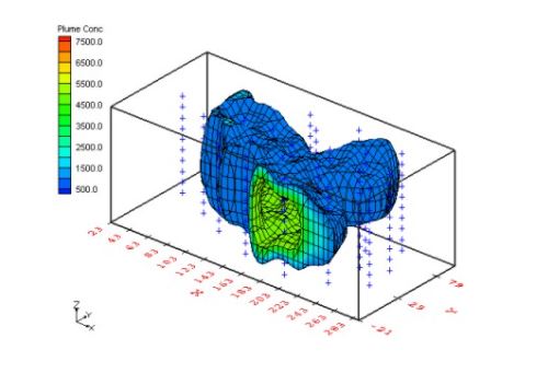
- Models of subsurface contamination plumes
- Estimations of contamination and their locations
List of Services
| Models | |
|---|---|
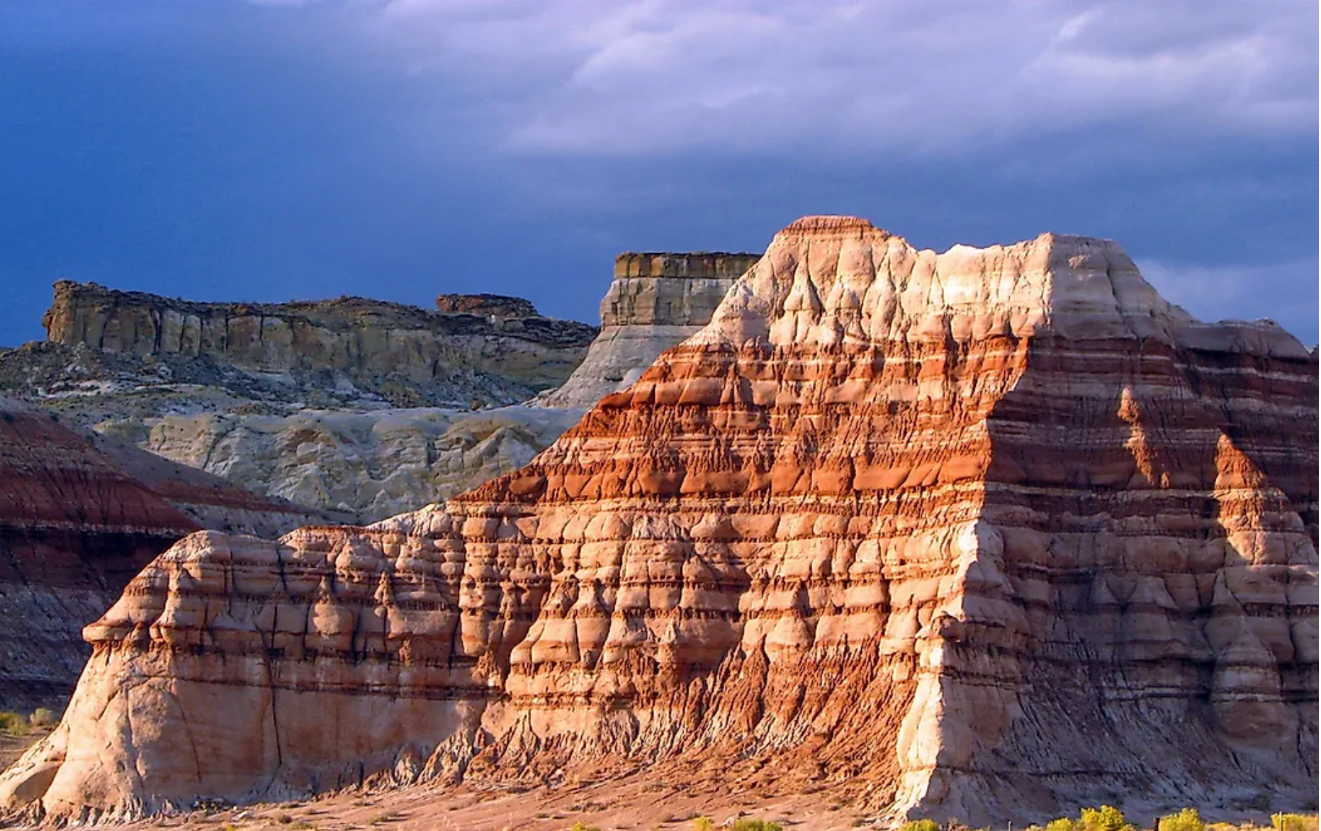
| Geological | Geological models are performed from the analysis, interpretation and integration of data obtained from maps, satellite images, drilling, field and laboratory tests, petrography and sedimentology, chemical analysis, geophysical surveys, surveys with drones and laser scanner, stratigraphy, structures geological surveys, and field inspections. |
| Hydrostratigraphics | Modelos estratigráficos são obtidos a partir da análise e interpretação de dados estratigráficos e ensaios hidrogeológicos. |
| Geothecnical | Stratigraphic models are obtained from the analysis and interpretation of stratigraphic data and hydrogeological tests. |
| Geochemical | Geochemical models are obtained from the analysis and interpretation of geological models integrated with geochemical data. |
| Hydrological | Hydrological models are obtained from geological models and the analysis and interpretation of fluviometric and hydroclimatological data, water balance, recharge maps and estimation of renewable reserves. |
| Data Acquisition | |
| The accuracy of 3D models depends on the quality and reliability of the data used in their creation. As a result, Geomodelle can manage the collection of these data through complementary services. These services are, for example, drilling specification, field and laboratory geotechnical and hydrogeological tests, specification of collection and chemical analysis of water and soils, geophysical surveys, multispectral and radar image processing. | |
| Geophysical |
Through a partnership with AFC Geophysics, a company established in the market for over 20 years, the following geophysical methods are available:
|
Through partnerships with specialized professionals and universities, the following services are available:
|
|
| Mining | Through a partnership with Servigeo, a company operating in mining since 2006, Geomodelle manages modeling and evaluation of mineral deposits from 3D models developed with information technology tools. |